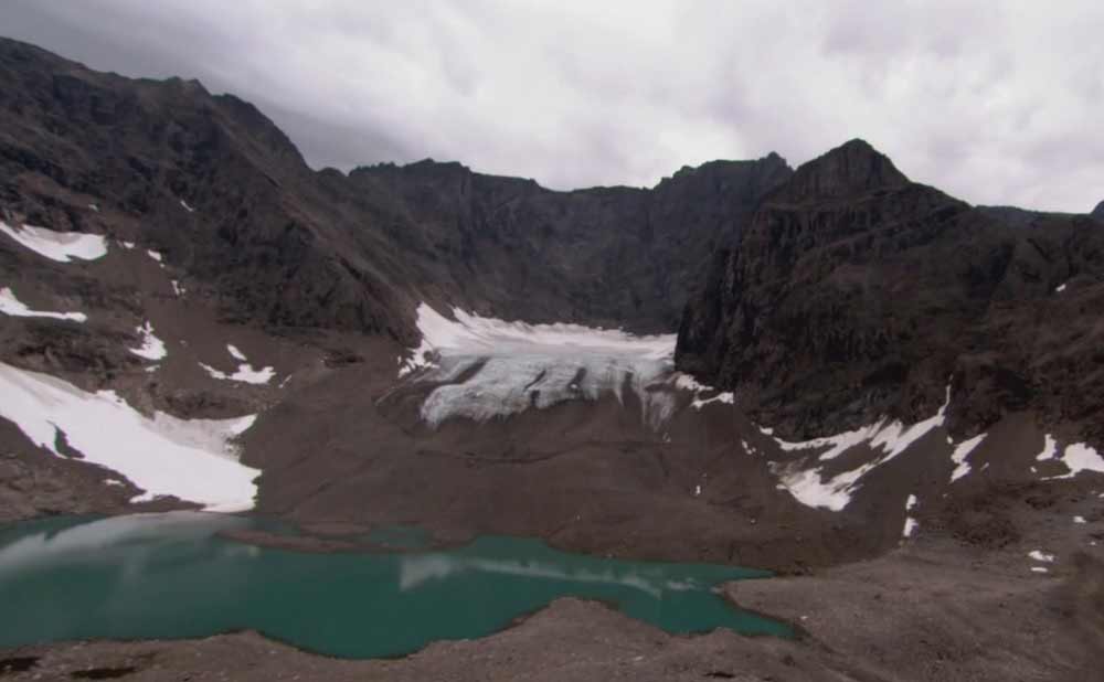
A Park for All Seasons from Above episode 4 – Arctic Homeland: Get a bird’s-eye view of the world’s most stunning National and Provincial Parks of Canada by soaring high above arctic tundra, through towering mountain ranges, and pristine forests. From up in the air see nature’s beauty from a whole new perspective.
A Park for All Seasons from Above episode 4 – Arctic Homeland
Torngat Mountains National Park takes its name from the Inuktitut word Tongait, meaning place of spirits. It is 9,700 square kilometres of spectacular wilderness stretching north from Saglek Fjord to the northern tip of Labrador, and westward from the Atlantic seacoast to the Québec border. It’s a land of mountains and polar bears, small glaciers, and caribou, where the Inuit hunt, fish, and travel, as their predecessors did for thousands of years.
Torngat Mountains National Park is a Canadian national park. It covers 9,700 km2 between Northern Québec and the Labrador Sea. Set in the Torngat Mountains, the name comes from the Inuktitut word Tongait, meaning “place of spirits”. It contains the highest mountains in Mainland Canada east of the Rockies.
An area called Torngat Mountains National Park Reserve was set aside with enactment of the Labrador Inuit Land Claims Agreement on December 1, 2005, with the intention of creating a national park. When the Nunavik Inuit Land Claims Agreement came into effect on July 10, 2008, the park was officially established, and the National Park Reserve became Torngat Mountains National Park, the first in Labrador. The park covers 9,700 square kilometres (3,700 sq mi), extending from Cape Chidley south to Saglek Fjord. It is the largest national park in Atlantic Canada and the southernmost national park in the Arctic Cordillera.
This park protects wildlife (caribou, black bears, wolf packs, two species of fox, polar bears, peregrine falcon, and golden eagle among others), while offering wilderness-oriented recreational activities (hiking, scrambling, kayaking).
