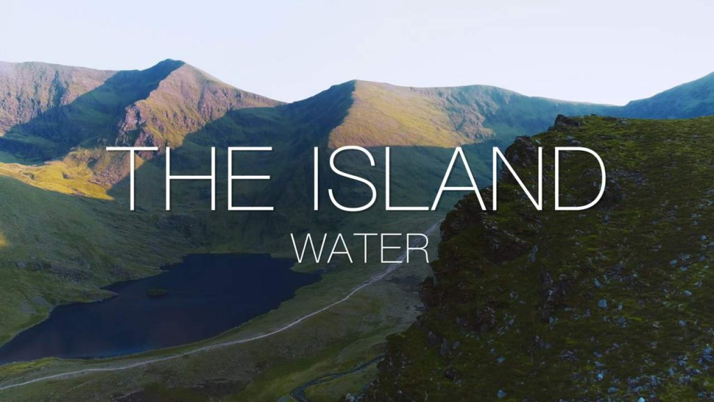
The Island – Water episode 2: With the rocks that make up the island of Ireland now in place, this is the story of the island’s intricate and intimate relationship with water and ice. At Killary Fjord, the immense bulldozing power of the glaciers which eroded and shaped the island through millenia-long cycles of formidable ice ages can be seen. In Norway, there’s a look back through a window in time to see how ice continues to carve and mould the landscape.
From Croagh Patrick, there’s a spectacular view of the ice-sculpted drumlins of Clew Bay, plus the intriguing ‘raised beaches’ in Donegal which reveal clues of ancient shorelines where the ice retreated into the sea. In Dublin Bay, there’s a look at how sea levels were once so low that it may have been possible to walk to Wales.
Millions of years of geological processes have provided ideal conditions for huge quantities of water to move beneath our feet – from the unexpected source of the River Shannon to the water gently seeping through the limestone to form the stunning Marble Arch Caves in County Fermanagh. This flow and interconnection of water is central to our historical and cultural identity, and so there’s a look at the ‘vanishing lakes’, or turloughs, that are almost unique to Ireland as a direct consequence of the island’s geology and climactic conditions.
Ireland’s marine territory is ten times larger than the land, so there’s an expedition offshore to see how the latest seabed mapping technology offers fascinating insight into the processes that forged the island over millions of years. Plus the shipwrecks that reveal our rich maritime lore, and just beyond the far edge of Ireland’s territorial waters, a look at the black smokers that offer fascinating clues to the origins of life.
The Island – Water episode 2
During the last glacial period, and until about 16,000 BC, much of Ireland was periodically covered in ice. The relative sea level was less than 50m lower resulting in an ice bridge (but not a land bridge) forming between Ireland and Great Britain. By 14,000 BC this ice bridge existed only between Northern Ireland and Scotland and by 12,000 BC Ireland was completely separated from Great Britain. Later, around 6100 BC, Great Britain became separated from continental Europe. Until recently, the earliest evidence of human activity in Ireland was dated at 12,500 years ago, demonstrated by a butchered bear bone found in a cave in County Clare. Since 2021, the earliest evidence of human activity in Ireland is dated to 33,000 years ago. By about 8000 BC, more sustained occupation of the island has been shown, with evidence for Mesolithic communities around the island.
Some time before 4000 BC, Neolithic settlers introduced cereal cultivars, domesticated animals such as cattle and sheep, built large timber buildings, and stone monuments. The earliest evidence for farming in Ireland or Great Britain is from Ferriter’s Cove, County Kerry, where a flint knife, cattle bones and a sheep’s tooth were carbon-dated to c. 4350 BC. Field systems were developed in different parts of Ireland, including at the Céide Fields, that has been preserved beneath a blanket of peat in present-day Tyrawley. An extensive field system, arguably the oldest in the world, consisted of small divisions separated by dry-stone walls. The fields were farmed for several centuries between 3500 BC and 3000 BC. Wheat and barley were the principal crops.
The Bronze Age began around 2500 BC, with technology changing people’s everyday lives during this period through innovations such as the wheel; harnessing oxen; weaving textiles; brewing alcohol; and skilful metalworking, which produced new weapons and tools, along with fine gold decoration and jewellery, such as brooches and torcs.